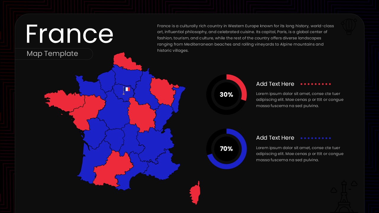
France Map Data Visualisation Template

This template is part of a deck featuring multiple slides. To check out all slides.
See All
Product Description
Overview
This France Geographic Map Data Presentation Template provides a modern and visually clear way to display regional information using a fully editable layout. It is a fully editable presentation template, compatible with PowerPoint and Google Slides. The slide is designed to help presenters showcase demographic insights, economic statistics, regional comparisons, or geographic distributions across France.
Its balanced combination of a country map, data visualization elements, and descriptive text sections makes it ideal for communicating both high level overviews and detailed analytical insights. The template’s clean structure ensures that complex data is presented in a simple and accessible manner.
What’s Inside the Template
The template features a color coded map of France with each region clearly defined for visual differentiation. A text panel at the top right introduces France with a concise overview of its cultural, historical, and geographic significance. Two circular percentage charts appear on the right side, each paired with space for custom labels and descriptive text. This combination of infographics and geographic illustration supports versatile storytelling, allowing presenters to highlight key metrics alongside regional segmentation.
Key Features
- Fully editable PowerPoint and Google Slides format
- Detailed vector map of France with region level segmentation
- Two circular data charts for customizable statistical insights
- Clear text panel for narrative description or context setting
- Professional layout suitable for business, academic, and tourism presentations
- Flexible design allowing easy color, text, and data customization
Ideal For
This template is ideal for analysts, educators, business strategists, tourism professionals, and researchers who need to present France related data in a structured and engaging visual format. It is also suitable for geographic studies, market assessments, regional performance reports, and cultural or economic presentations.
Slide Highlights
The slide showcases a bold red and blue regional map of France paired with percentage charts that visually reinforce data storytelling. The top right section contains a descriptive introduction that adds context to the visuals. The layout maintains excellent balance, ensuring that the map stands out while supporting information remains easy to read and interpret.
Compatibility & Formats
The template works seamlessly with PowerPoint and Google Slides. All map elements, colors, and charts are fully editable, allowing presenters to tailor the content to specific data sets or branding requirements. It supports widescreen formats and retains sharp quality across all display types.
Login to download this file
What do you think of this template?