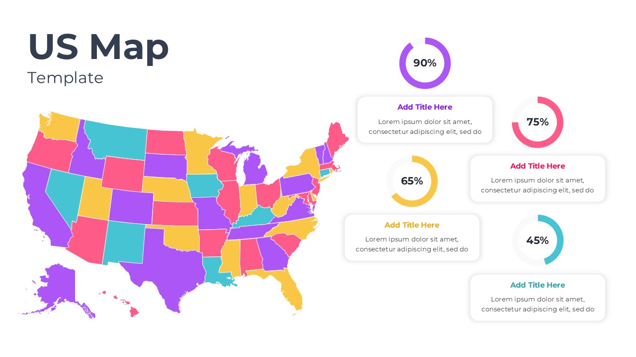
This template is part of a deck featuring multiple slides. To check out all slides.

See All round right arrow

Product Description

Description

This US Map Data Visualization template is designed to present state level insights and geographic comparisons clearly. It is a fully editable presentation template, compatible with PowerPoint and Google Slides. The slide supports visual storytelling by combining a color coded United States map with percentage based data indicators. It is ideal for highlighting regional performance, metrics, or distribution patterns.

What’s Inside the Template

The template includes a detailed US map with individually colored states, allowing users to visually distinguish regions or categories. On the right side, multiple circular percentage indicators are paired with title and description placeholders to explain key metrics or insights. The layout balances geographic visualization with supporting data summaries, ensuring the audience can quickly understand both location based context and numerical performance. All text areas, colors, and values are editable to match different datasets or presentation goals.

Key Features

  • Fully editable US map with clearly separated states
  • Circular percentage indicators for visual data comparison
  • Clean layout combining geography and metrics
  • Customizable colors, labels, and text placeholders
  • Designed for clarity in data driven presentations

Ideal For

This template is ideal for business analysts, marketers, consultants, and executives who need to present regional data across the United States. It works well for sales performance reviews, market penetration analysis, demographic studies, and operational reporting. Educators and researchers can also use it to explain geographic trends or comparisons in an engaging visual format.

Slide Highlights

The slide draws attention to the US map as the primary visual anchor, making regional differences easy to identify at a glance. The supporting percentage charts provide quick quantitative context without overcrowding the design. Rounded content boxes and clear spacing improve readability and help guide the audience through each key insight presented alongside the map.

Compatibility & Formats

This presentation template is fully compatible with Microsoft PowerPoint and Google Slides. No external plugins or special fonts are required, allowing seamless editing and presentation across devices and platforms.

Login to download this file

What do you think of this template?

Rating

0.0

(0 reviews)